Route Suggestions

Aberdeen Nature Trail

1.6 kilometers About 1 hr 10 mins Difficulty:

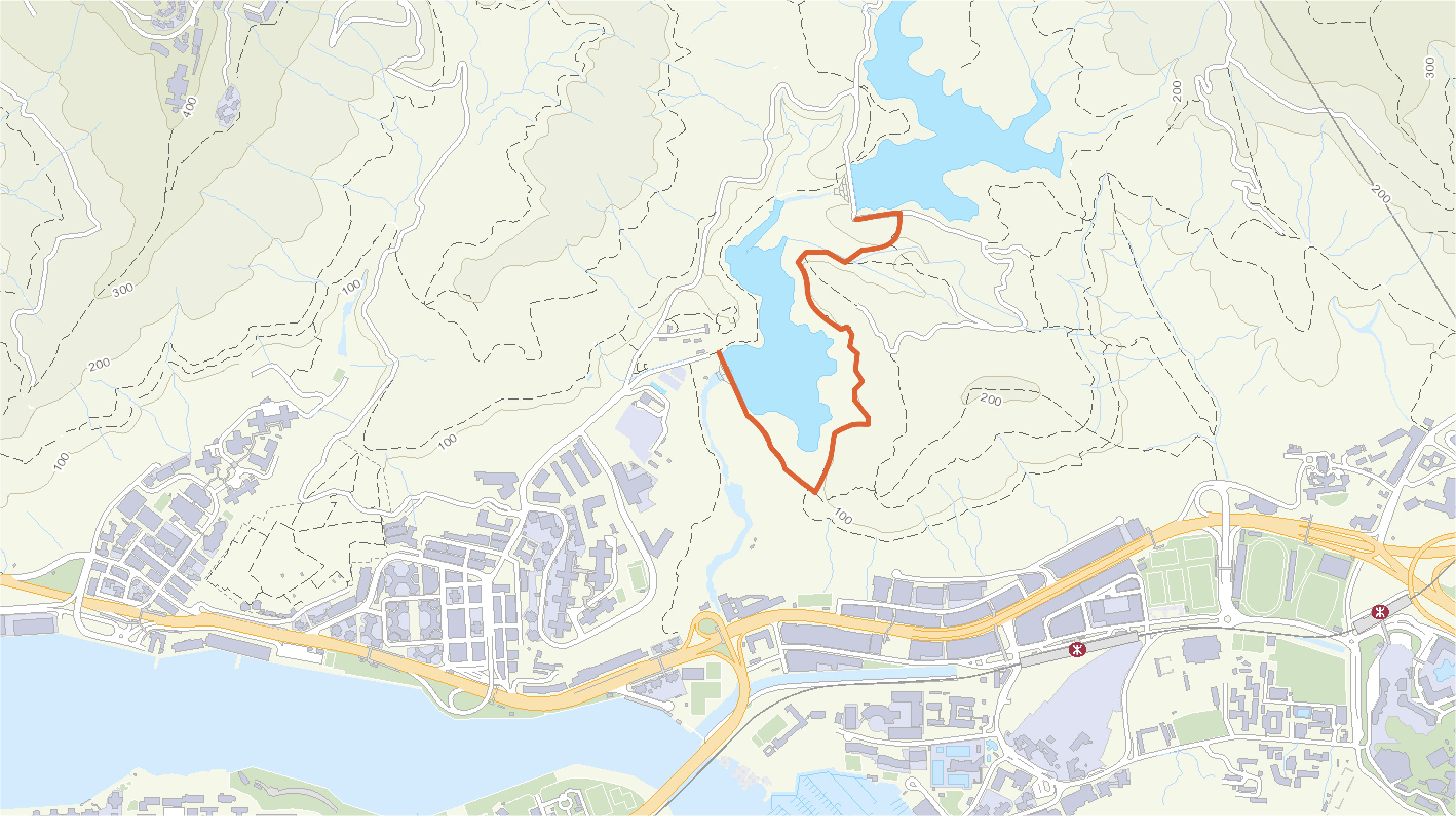
The first leg of Aberdeen Nature Trail skirts along Lower Aberdeen Reservoir on a level path. Once privately owned by a papermill, the reservoir was surrendered to the government for modification as part of the Aberdeen Valley Water Scheme and came into use again in 1932. The nature trail overlooks fine vistas of the typhoon shelter in Aberdeen and affords glimpses of a catholic convent built in a blend of Chinese and Italian architectural styles, as well as the rich diversity of flora and fauna, including Sasagrass, an ingredient of 24 Herbs, Chinese Cane, which is used to wrap sticky rice dumplings, and Black Kite soaring overhead. Near the end of the trail there is an old-style rain gauge, a declared monument of Upper Aberdeen Reservoir, which is certainly not to be missed.
Suggested Transportation:
Boarding Location:
Take bus route 70P, 595 (towards Shek Pai Wan) from the "Aberdeen Promenade, Aberdeen Praya Road" bus stop
Alighting Location: Get off at the "Hoy Au Lau Yue Kwong Chuen, Yue Kwong Road" bus stop and walk for about 400 m to the start point of the suggested route

Map Details

Alighting Location: "Hoy Au Lau Yue Kwong Chuen, Yue Kwong Road" bus stop
About 400m (10 mins)
Start Point: Aberdeen Lower Reservoir Nature Trail
About 2km (1 hr)
End Point: Main Dam of the Aberdeen Upper Reservoir
Start and end point
Attractions
Amenity
Signage
Boarding location for transportation
Alighting location for transportation
X

Start Point: Aberdeen Lower Reservoir Nature Trail

X

End Point: Main Dam of the Aberdeen Upper Reservoir

X

Boarding Location: Take bus route 70P, 595 (towards Shek Pai Wan) from the "Aberdeen Promenade, Aberdeen Praya Road" bus stop

X

Alighting Location: Get off at the "Hoy Au Lau Yue Kwong Chuen, Yue Kwong Road" bus stop and walk for about 400 m to the start point of the suggested route

X

Signage – Aberdeen Reservoirs

X

Signage – Pok Fu Lam Country Park